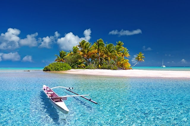
How is a Peninsula Formed and Examples of 10 Largest Peninsulas in the World
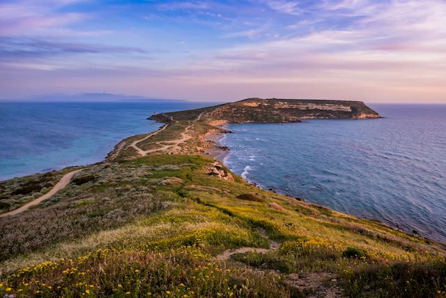
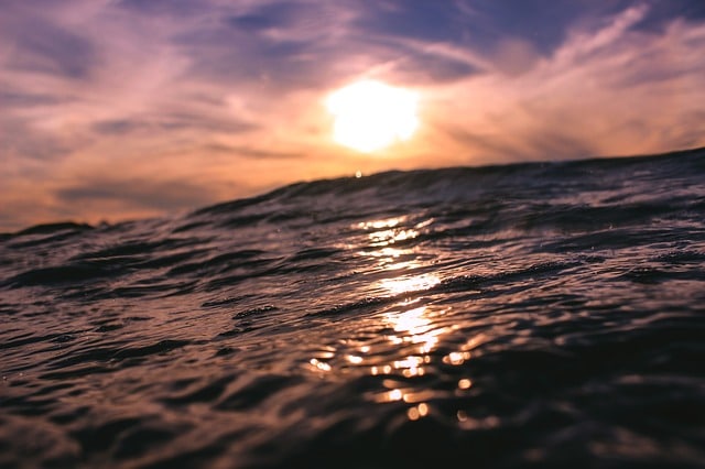
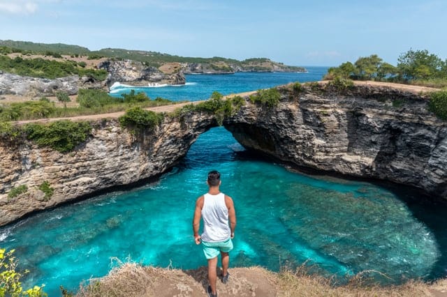
Peninsula is a piece of land surrounded by the water on three sides but remains connected to the mainland on one side. This unique geographic formation extends from a large mainland area to the water source nearby.
The word peninsula originated from the Latin words in which pene meaning ‘almost,’ followed by insula referring to an ‘island,’ together which means a landform that appears like an island, but not an island or almost an island. The difference is that the island is an independent geographic formation surrounded by water on all sides whereas only three sides of the Peninsula are surrounded by water. A peninsula is usually surrounded by a lake, river, sea, or ocean. The other names of a peninsula are capes, promontories, spits, bill, points, and headlands.
Located on every continent and almost around the whole world, this geographic formation may be extremely large or very small, either wide or narrow, but they are unique geographic locations.
These distinctive geographic locations host wide ranges of flora and fauna, and natural habitat of many threatened or endangered species. Their unique geographic positioning often makes them significant in international trade and commerce. Usually, lighthouses are found in peninsulas to prevent shipwrecks.
How is a Peninsula Formed?
The gradual movement of lithospheric tectonic plates is the most common reason for the formation of peninsulas. These plates being susceptible to changes in the movement at the core of the earth may shift. This movement over a long period stresses the underlying rock to create cracks causing the land masses above them to be pushed or pulled in different directions. One of the results of this kind of geographic activity can be peninsulas.
Another way is the changing levels in the water that forms peninsulas. The rising level of water against land and slowly receding over several years causes erosion resulting in the formation of a Peninsula.
Apart from these, land masses often get surrounded by the water on just a few sides by melting glaciers and increasing tropical storms, causing a rise in sea levels.
Soil erosion is also known to form these landforms. The soil erosion by weathering agents makes the landmass vulnerable to get submerged by water, which resulted in the formation of peninsulas.
Examples of 10 Largest Peninsulas in the World
Ranking of Peninsula
- Arabian 1,250,006 (Sq. Mi)
- Deccan 800,004 (Sq. Mi)
- Indo-China 748,553 (Sq. Mi)
- Horn of Africa 726,975 (Sq. Mi)
- Alaskan Peninsula 579,153 (Sq. Mi)
- Labrador Peninsula 540,543 (Sq. Mi)
- Scandinavia 289,577 (Sq. Mi)
- The Balkans 257,414 (Sq. Mi)
- The Iberian Peninsula 230,400 (Sq. Mi)
- The Kamchatka Peninsula 100,000 (Sq. Mi)
1. Arabian Peninsula
The largest Peninsula in the world with 1,250,006 square miles area is Arabian Peninsula. Located in the Middle East, it includes seven countries such as Saudi Arabia, Oman, Qatar, Yemen, Bahrain, UAE, and Kuwait. Water bodies that surround the Arabian Peninsula are the Gulf of Oman in the east, the Red Sea in the west, the Persian Gulf in the northeast, the Gulf of Aden in the south and the Arabian Sea in the southeast.
This Peninsula is a global source of oil and natural gas, where oil and gas extraction and refining industry significantly controls the major part of economic activities.
2. Indian (Deccan) Peninsula
It is the second largest Peninsula in the world located in South Asia occupying 800,004 square miles. However, if you consider the number of inhabitants, Deccan becomes the largest in the world. It is surrounded by the Indian Ocean, Bay of Bengal and the Arabian Sea on the three sides and includes Southern part of India.
The Western and Eastern Ghats Mountain ranges of this Peninsula are rich in biodiversity and covered in forests. This area is the habitat of several threatened species from elephants to crested-serpent eagles, and also contains a large, protected tiger reserve.
3. Indo-China Peninsula
Indo-China Peninsula or Mainland Southeast Asia occupies 748,553 square miles. It is part of Southeast Asia and includes countries like Cambodia, Myanmar, Laos, Malaysia, Vietnam, and Thailand. It has China Sea in the east, the Andaman Sea in the west, and Malacca Strait in Southwest.
This peninsula provides one of the most important trade routes in the region and boasts 2 railroads, 3 waterways, 6 highways, and 2 oil and gas pipelines to support economic activity. It is also home to 300 and more mammal species and 1,000 different birds.
4. Horn of Africa
It is the fourth largest peninsula of the world covering 726,975 square miles and also known as Somali Peninsula. It is the best-known peninsula on the African Continent. The four Eastern African countries included in this peninsula are Ethiopia, Djibouti, Somalia, and Eritrea. It extended long inside the Arabian Sea surrounding its East and South and the Gulf of Aden in North.
The Horn of Africa is well known for its wide range of biodiversity. It includes 220 mammal species, 285 and more reptile species, 100 freshwater fish species, and 5,000 plant species. These species are mostly endemic to the area, and the highest number (over 285 species!) of endemic reptiles are found here than anywhere else on the continent.
5. Alaskan Peninsula
Alaskan Peninsula separates the Pacific Ocean from Bristol Bay, a part of Bering Sea. It covers 579,153 square miles area. The whole Alaska State in the US comes under the Alaskan Peninsula. The water bodies that surround this peninsula are Bering Strait in West, Arctic Sea in the North and the Pacific Sea in the South. However, some consider this thin extended strip as the county of Alaska only.
6. Labrador Peninsula
It is the north-eastern part of Canada in North America and located in the province of Quebec. Covering 540,543 square miles in size it is surrounded by the Labrador Sea, a part of Atlantic Ocean in the East, Hudson Bay in the West and Gulf of Saint Lawrence in the South.
7. Scandinavian Peninsula
This peninsula occupies 289,577 square miles of North Europe and includes whole Norway and Sweden and only a small part of Northern Finland. Its bordering seas are the Norwegian Sea to the west, the Barents Sea to the North, Baltic Sea to the East and South and the North Sea to the South.
The Scandinavian Peninsula is a real example of a peninsula that is surrounded by the water from three sides and connected to the mainland on one side by a narrow strip of land.
8. The Balkans Peninsula
The Balkans Peninsula covers 257,414 square miles of the area of Southeast Europe. The Black Sea surrounds it on the east and northeast, the Adriatic Sea on the northwest, the Ionian Sea on the southwest, and the Aegean Sea in the south and southeast.
The countries included in this peninsula are Albania, Bosnia and Herzegovina, Croatia, Bulgaria, Greece, Montenegro, Kosovo, Macedonia, Slovenia, Romania, Serbia, and North Turkey.
9. Iberian Peninsula
Also known as Iberia, it is located on Southwest Europe covering 230,400 square miles of area. This second largest European peninsula has the Atlantic Ocean on the west, southwest, and north, and the Mediterranean Sea on the east and southeast. It includes countries such as France, Portugal, Spain, and Andorra.
10. Kamchatka Peninsula
This Peninsula occupies 100,000 square miles area at the Far East of Russia. Bounded by the Bering Sea in the East, Sea of Okhotsk in the West and North Pacific Ocean in the South, it is known for its volcanoes and considered among the UNESCO World Heritage Sites. The Kamchatka Peninsula consists of 160 volcanoes, out of which 29 are still active.
Sources:
Peninsula