What are Hurricanes and How do Hurricanes Form?
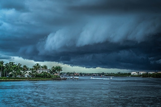
Hurricane is a severe tropical cyclone – rapid inward circulation of air masses about a low pressure centre, usually with heavy rains and winds moving at 73 to 136 knots (miles per hour) forming over the Atlantic Ocean or Eastern Pacific Ocean. Hurricanes are witnessed as massive storms during powerful rains with strong winds, lightning, and thunderstorms.
They are also commonly referred to as Cyclones or Typhoons depending on where they happen. Often, they carry torrential rains and can cause extensive landslides, flooding, damage to property, and serious harm to people due to the storm surges and strong winds.
Hurricanes occur naturally and are categorized as natural disasters because of the devastating outcomes whenever they strike. Modern technologies and monitoring systems have developed early warning measures to caution for imminent hurricanes to limit the damages.
According to Weatherwizkids, “A hurricane is a huge storm! It can be up to 600 miles across and have strong winds spiraling inward and upward at speeds of 75 to 200 mph. Each hurricane usually lasts for over a week, moving 10-20 miles per hour over the open ocean. Hurricanes gather heat and energy through contact with warm ocean waters. Evaporation from the seawater increases their power.”
How do Hurricanes Form?
Hurricanes require warm and moist air over the ocean waters to form. Thus, the main element needed for hurricanes to form is warm ocean water of about 80°F for not less than 50 meters below the surface. Perhaps, this is why hurricanes are common within the tropics where temperatures are warm throughout the year.
The second essential element for hurricane formation is wind. Meteorologists categorize the formation of hurricanes into four phases: tropical disturbance, tropical depression, tropical storm, and fully-formed tropical cyclone (hurricane).
- Tropical Disturbance
As wind blows over the ocean’s surface, water evaporates and rises higher above the ocean. As it rises, it cools and condenses to form cumulonimbus clouds. The process goes on and on and makes the cumulonimbus clouds to expand. A pattern of circular clouds develops as the winds circulate around a center. This pattern continues to form a cluster of thunderstorm clouds with rains and lightning, a process known as tropical disturbance.
- Tropical Depression
As the rains with thunderstorms and lightning form, they begin to move bit by bit with mild western winds and become unstable. Within two to three days, stronger vertical warm air currents begin to rise to the clouds from the ocean’s surface.
As more warm air moves upward, the winds start to spin more quickly in a circular motion influenced by the rotation of the earth. The rising air results in a pressure decrease at higher altitudes that make the entire system to be in circular movement around a central area. At this point, the wind speeds are about 38 miles per hour and it’s the point referred to as tropical depression.
- Tropical Storm
As very warm air continues to rise above the ocean into the upper cooler air, the winds attain speeds more than 39 miles per hour, and the clouds expand even more. The winds attain even higher speeds because as the warm air rises, it is quickly replaced by the gushing cooler air creating a rage of powerful and abnormally large spiral storm.
For this reason, the tropical depression changes into a tropical storm. As the clouds continue to expand, thunderstorms, heavy rains, and gale force winds are in full force. The winds gain speeds as high as 74 miles per hour. As the winds blow even faster, they twist and turn around to form a spiral calm center termed as the eye.
The eye is around 5 to 30 meters wide. In the northern hemisphere, wind direction is counterclockwise – from west to east, whereas in the southern hemisphere, wind direction is clockwise – from east to west. This manner of wind movement is termed as the Coriolis Effect.
- Fully-formed Tropical Cyclone (Hurricane)
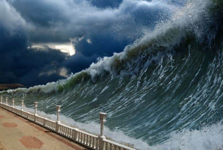
Whenever the winds reach 74 miles per hour, it is usually categorized as a fully formed tropical cyclone or hurricane. At this point, the eye gets surrounded by a towering and highly dangerous vertical movement of thunderstorms, which is referred to as the eye wall. The wind speed of the eye wall is so strong that it can whirl and carry huge amounts of water from the ocean.
Typically, this is what causes monstrous storm surges when tropical cyclones reach the shores. The storm is at least 50,000 meters high and about 125 miles in diameter. As the cyclone moves, it can gain wind speeds of up to 160 miles per hour.
- Landfall
When it hits the land at the shore, the hurricane is termed to have made a landfall. With wind speeds ranging between 74 miles per hour and 160 miles per hour, the outcomes can be moderate to catastrophic – mostly inventible to prevent. As it moves outside water, it weakens since the energy from the warm ocean waters is no longer present. Eventually, the winds subside and end, but they often move far inland accompanied by heavy rains and winds.